We have seen contractors in Cheyenne assume the stiff clay at 20 feet will hold a vertical cut through winter. That assumption fails when snowmelt saturates the upper weathered shale in March. The collapse risk is not gradual here—it can be sudden, driven by pore pressure buildup in the fractured Pierre Shale that underlies much of the city. Our team approaches every deep excavation design in Cheyenne with a detailed look at seasonal groundwater fluctuation, not just the soil log. Before any shoring is sized, we evaluate lateral earth pressures using site-specific friction angles from triaxial tests, because generic textbook values do not capture the slickensided surfaces common in Laramie County shale. We also integrate slope stability analysis when the excavation is adjacent to existing structures or utility corridors, where a rotational failure could propagate beyond the site boundary.
Cheyenne's Pierre Shale loses 40% of its undrained shear strength within 72 hours of moisture exposure—time-dependent behavior that standard shoring tables ignore.
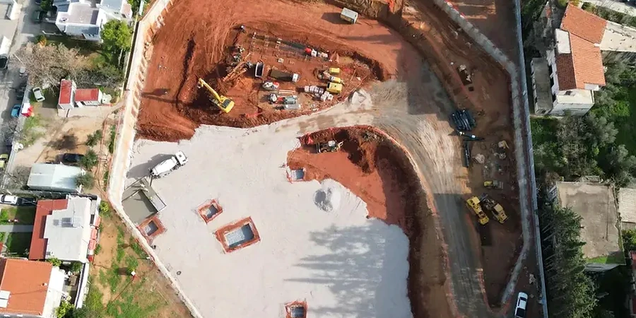
Local ground factors
IBC Section 1806 requires that excavations be designed to prevent damage to adjacent property, and in Cheyenne the risk is amplified by the expansive potential of weathered shale. When an open cut exposes the formation, moisture equilibration causes swelling that can lift a sidewalk by two inches in a single wet cycle. The deeper risk is basal heave: in a 30-foot excavation with a soft clay bottom, the unloaded floor can rebound and fail if the factor of safety against uplift drops below 1.5. We analyze this with undrained shear strength profiles from in-situ vane tests, not just SPT blow counts. Another Cheyenne-specific hazard is frost jacking of tieback wales from November through March—the 48-inch frost depth means that upper-level bracing must be insulated or de-stressed if construction pauses during winter. The design report we deliver includes a monitoring schedule with inclinometer and survey point benchmarks, triggered at deflection thresholds that are conservative enough to catch a problem before the adjacent street shows cracking.
Quick answers
How much does a deep excavation design cost in Cheyenne?
The engineering fee for a deep excavation design in Cheyenne typically ranges from US$2,290 to US$8,700, depending on excavation depth, proximity to adjacent structures, and whether groundwater control is required. A 15-foot cut with simple soldier piles falls at the lower end. A 40-foot excavation with tiebacks, staged construction, and monitoring specifications falls at the upper end.
What is the biggest excavation hazard in Cheyenne's geology?
The Pierre Shale formation is the primary concern. When unweathered, it provides good stand-up time, but the transition zone where oxidized shale meets unweathered shale often traps groundwater. This perched water can destabilize a cut face quickly. We always recommend piezometer installation during the site investigation phase to map this contact.
Do I need a dewatering plan for a basement excavation in Cheyenne?
Probably. Even if the regional water table is deep, the weathered shale zone in Cheyenne frequently holds perched water at 8 to 15 feet below grade. A dewatering plan addresses both construction-phase stability and long-term hydrostatic pressure on basement walls. We design the system to handle the peak inflow during spring snowmelt.
What monitoring is required during excavation near existing buildings?
At minimum, we specify optical survey points on adjacent foundations and inclinometer casings behind the shoring wall. Readings are taken at each excavation lift. If movement exceeds 0.25 inches, work pauses and we re-evaluate the lateral support design before proceeding. Vibration monitoring is added when rock removal is required near historic masonry structures.