Cheyenne sits on ground that looks flat until you get near the creeks. Crow Creek and Dry Creek carved steep banks into the Pierre Shale, and those slopes move more than people realize. We run slope stability analysis here every month because homeowners and developers get surprised by cracks in the spring. Our job is to give you a factor of safety number you can take to the city building department. We use local soil parameters, not generic textbook values. Saturated clay from the Pierre formation behaves differently than what a lab manual predicts. If you are drilling near a cut slope for a new foundation, a test pit investigation helps us sample the weathered zone before running the stability model.
A slope that stands at 1.5:1 today can fail at the same angle after a wet spring — strength loss in Pierre Shale is real and we measure it.
Our approach and scope
We follow the IBC which references ASCE 7 for seismic loads, but the real challenge in Cheyenne is saturation. The city gets about 15 inches of precipitation a year, yet spring snowmelt concentrates along drainage paths and saturates the upper 3 to 5 feet of clay. That transient pore pressure drops the factor of safety fast. Our analysis uses limit equilibrium methods, Spencer's procedure for non-circular surfaces, and finite element seepage modeling when groundwater is perched. We input site-specific strength parameters from consolidated-undrained triaxial tests on undisturbed samples. For cuts deeper than 12 feet, we check both static and pseudo-static conditions with a horizontal acceleration coefficient of 0.10g per the USGS seismic hazard maps for Laramie County. This is not a cookbook process. Cheyenne's shale weathers into a stiff fissured clay that loses strength along pre-existing slickensides, so we back-analyze any existing failures to calibrate the model.
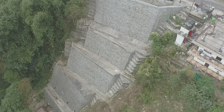
Local ground factors
The south side of Cheyenne near the Crow Creek greenway has slopes cut into alluvial terrace deposits over shale — those behave differently from the engineered fill slopes over by the Warren AFB area. Terrace deposits contain sand lenses that drain fine, until they don't. A clogged lens builds pressure and the toe slumps. We have seen walls crack and sidewalks tilt within two years of construction when the slope stability analysis was skipped or done with assumed parameters. On the north side, newer subdivisions sit on expansive clay that shrinks and swells, adding a cyclic loading component to any inclined surface. The risk is not just collapse. It is slow creep that racks a structure over a decade. A proper analysis costs a fraction of repairing a moving foundation. We deliver a report with critical slip surfaces, pore pressure distributions, and reinforcement recommendations if the factor of safety comes in below code.
Quick answers
How much does a slope stability analysis cost in Cheyenne?
Typical fees range from US$1,330 for a desktop review of an existing slope to US$4,410 for a full investigation with drilling, lab testing, and a detailed stability report. The price depends on slope height, access, and whether we need a drill rig.
What slope angle triggers a stability analysis requirement?
Cheyenne follows IBC Chapter 18. Any cut or fill slope steeper than 2:1 (horizontal:vertical) and higher than 6 feet typically requires a geotechnical evaluation. The building official may also require it for slopes flatter than 2:1 if structures are within the zone of influence.
Do you use software or hand calculations?
We use commercial limit equilibrium software (Slide2 and SLOPE/W) for complex geometries and Spencer's method. For simple infinite slopes in uniform material we may use hand calculations verified against published charts. All outputs are reviewed by the engineer before the report is stamped.
How long does the analysis take?
A preliminary desktop analysis takes 5 to 7 business days. A full investigation with drilling and lab testing typically takes 3 to 4 weeks from mobilization to final report, depending on lab queue and weather.