← Home · Underground Excavations

Geotechnical Excavation Monitoring in Cheyenne: Real-Time Ground Control

Together, we solve the challenges of tomorrow.

LEARN MORE →

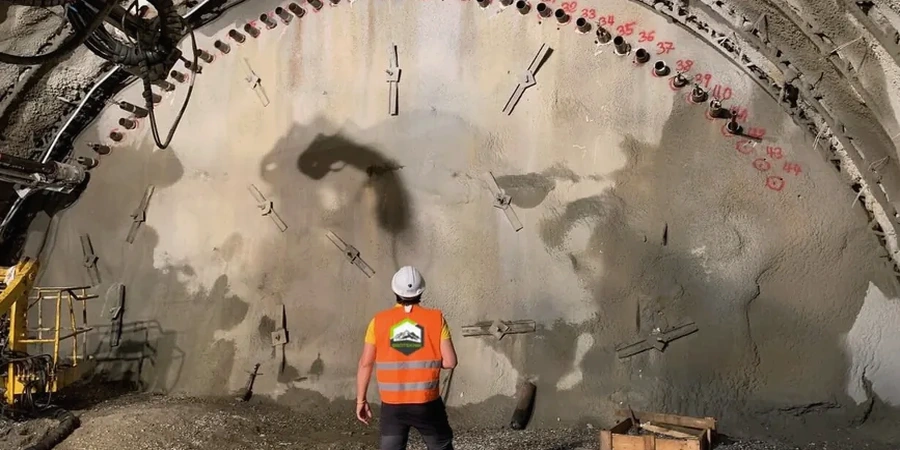
Cheyenne's development didn't stop at the Union Pacific yards. The city has pushed outward onto expansive clay terraces and weathered sandstone formations that behave unpredictably once you open a cut deeper than twelve feet. The old-timers knew the ground moved. Modern contractors need more than instinct. Geotechnical excavation monitoring here ties directly into the Cretaceous Fox Hills and Pierre Shale units that underlie much of the city. These formations swell, slake, and lose strength when exposed to air and moisture cycles. Without continuous monitoring, what looks stable on Tuesday can spall or creep by Friday. The test pits crews often uncover paleochannel deposits that don't appear on regional maps, which is why pre-excavation data feeds directly into the monitoring plan.

Monitoring isn't about collecting data. It's about setting the right alarm thresholds before you ever put a bucket in the ground.

Our approach and scope

A common mistake on Cheyenne jobsites is assuming that inclinometer readings alone will catch everything. They won't. Contractors who rely on a single data stream miss the coupling between groundwater fluctuation and lateral movement in the claystone. We have seen projects where the excavation stood fine for three weeks and then moved 0.8 inches overnight after a rainstorm saturated the backfill behind the shoring. A proper monitoring program layers automated total stations, crack gauges on adjacent structures, and vibrating-wire piezometers in the same dashboard. When you integrate slope stability analysis with real-time deformation thresholds, the alert logic becomes actionable—not just a log file nobody reads until Monday morning. The value is in catching the trend before it becomes a problem.
Geotechnical Excavation Monitoring in Cheyenne: Real-Time Ground Control
Technical reference image — Cheyenne

Local ground factors

The Fox Hills sandstone that outcrops along the eastern edge of Cheyenne is a classic aquifer-bearing unit. Groundwater sits at variable depths, often within twenty feet of the surface in lower-lying areas near Crow Creek. Once you cut into the transition zone between the Fox Hills and the underlying Pierre Shale, you are dealing with perched water and artesian pressure in the same excavation. That combination drives rapid base heave and can destabilize soldier pile walls from the toe upward. The compressibility of the local clay is significant: liquid limits routinely exceed 55% in laboratory testing, placing much of the near-surface material in the high-plasticity CH category per ASTM D2487. Monitoring programs here must account for both mechanical deformation and pore pressure dissipation over weeks, not hours.

Need a geotechnical assessment?

Reply within 24h.

Email: contact@geotechnicalengineering.sbs

Typical values

ParameterTypical value
Inclinometer precision±0.01 inch per reading
Total station accuracy1 arc-second angular, 1mm + 1ppm distance
Piezometer range0-100 psi (typical for Cheyenne basin depths)
Crack gauge resolution0.0001 inch
Reporting frequency during active excavationDaily with same-evening summary
Trigger criteriaSite-specific, based on empirical and numerical models
Instrumentation standardASTM D7299 for inclinometer installation and monitoring

Associated technical services

01

Automated Deformation and Vibration Monitoring

Continuous 3D movement tracking using robotic total stations with prism networks. Vibration thresholds calibrated to historic structures within the zone of influence. Same-day exceedance alerts with photographic documentation.

02

Groundwater and Pore Pressure Monitoring

Installation and reading of standpipe and vibrating-wire piezometers in the Fox Hills aquifer zone. Pressure data correlated with excavation sequencing to validate dewatering performance and prevent basal instability.

Regulatory framework

ASTM D7299-20: Standard Practice for Verifying Performance of Vertical Inclinometers, OSHA 1926 Subpart P: Excavation Safety Requirements, FHWA Geotechnical Engineering Circular No. 4: Ground Anchors and Anchored Systems

Quick answers

How much does geotechnical excavation monitoring cost in Cheyenne?

Monitoring programs in the Cheyenne area typically range from US$730 to US$2,470, depending on instrumentation count, duration, and reporting frequency. A short-term excavation with two inclinometers and a few survey points will fall at the lower end. A multi-month deep cut near historic structures with automated total stations, piezometers, and daily engineering review runs toward the upper end. We provide a fixed-scope proposal after reviewing the shoring design and site geology.

What triggers an alert during monitoring?

Alert thresholds are project-specific and set before excavation begins. Common triggers include lateral deformation exceeding 0.5 inches at the top of the shoring wall, vibration peaks above 0.5 in/sec at the nearest structure, or groundwater levels rising more than 2 feet above the predicted drawdown curve. Alerts go to the superintendent and the geotechnical engineer simultaneously, with a brief interpretation of whether the movement is accelerating or stabilizing.

Do you monitor vibration effects on adjacent historic buildings?

Yes. Cheyenne has several registered historic structures where the masonry is already stressed. We install triaxial geophones on the foundation or sidewalk level and log continuously during compaction, demolition, and rock hammering. The data is compared against the USBM RI 8507 criteria for cosmetic cracking, and we adjust the construction means and methods if readings approach 70% of the threshold.

Location and service area

We serve projects across Cheyenne and surrounding areas.

View larger map