Build on F.E. Warren's decomposed granite or over in the Avenues on the old lakebed sediments, and you'll get two completely different compaction curves. That split defines most of Cheyenne's subsurface. The Proctor test pins down exactly how much moisture and mechanical effort a specific fill needs to hit 95 percent compaction. We run both Standard and Modified procedures because the city's wind-deposited silts react fast when water content shifts by a single percentage point. Without that number, a roller operator is just guessing. Our in-situ permeability work shows these silts can retain water longer than the sandy veneers on the east side, which changes the compaction window during construction before the afternoon winds kick up.
A single percentage point of moisture error on a Cheyenne silt fill can drop field density below 90 percent, and the Wyoming wind will finish the erosion in one season.
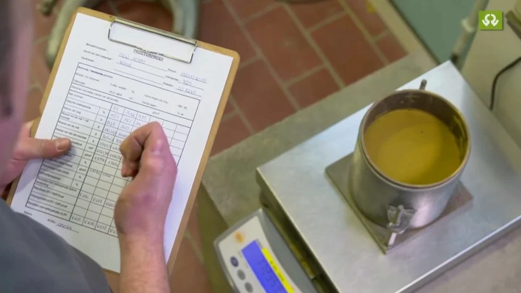
Our approach and scope
Cheyenne grew in bursts, first the railroad shops, then the missile sites, then the data centers and distribution warehouses that now ring I-25. Each wave left behind fill that nobody mapped properly. The Proctor test works as a forensic tool for that fill. We extract a sample from the proposed lift, dry it back, and compact it across a range of moisture contents, recording density at every step. The peak of that curve is the maximum dry density; the corresponding moisture content is the optimum. When we encounter crushed sandstone borrowed from a nearby quarry, the curve spikes hard. When we hit the calcareous silts that cap the Ogallala remnants south of town, the curve flattens, and the optimum moisture climbs. For pavement subgrades on the High Plains, we combine this with a
CBR test for road design because the Wyoming DOT wants both numbers before they sign off on a structural section. The lab runs four to five points per curve, not three, because the local silts occasionally produce a double peak in the Modified effort that a three-point run would miss entirely.
Quick answers
What does a Proctor test cost in Cheyenne?
A Standard or Modified Proctor curve typically runs between US$100 and US$200 per sample, depending on whether an oversize correction is needed and how many points the curve requires. Volume pricing applies when multiple samples come from the same borrow source.
Which Proctor method does WYDOT require for Cheyenne road projects?
WYDOT Standard Specifications Section 203 calls for the Modified Proctor per AASHTO T-180 on most structural fills and base courses. The Standard Proctor may be accepted for landscape fills or utility trench backfill when the geotechnical report explicitly permits the lower compactive effort.
How long does a Proctor curve take to run in the lab?
A full five-point curve takes about three to four hours of lab time from sample drying to final data reduction. We can usually report results within one business day, and same-day turnaround is available if the sample arrives before 9 AM.
Can you run a Proctor on material with gravel larger than 3/4 inch?
Yes, we apply the oversize correction per ASTM D4718. Material retained on the 3/4-inch sieve is scalped and its specific gravity measured; the correction adjusts the reported maximum dry density and optimum moisture to account for the coarse fraction that would not fit in the 4-inch mold.